
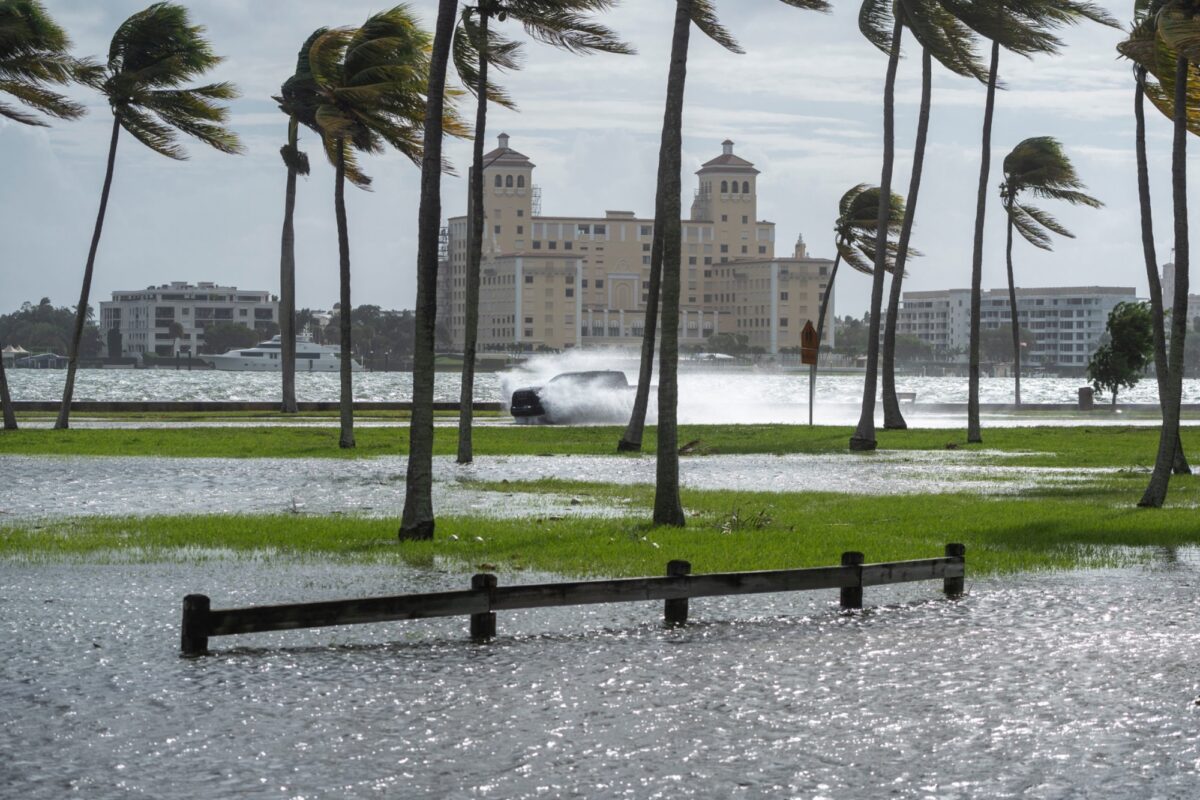
Record-breaking high tides driven by a full moon, strong onshore winds and warmer-than-normal waters are flooding streets and chewing up beaches from Southern California to the Carolinas this week. Forecasters say the peak window runs Oct. 22 through Nov. 12, with the worst coastal impacts hitting Florida.
Here are key takeaways:
- What’s driving it: As reported by The Charlotte Observer, The Oct. 26 full moon converged with warmer waters, El Niño, offshore storms and a Pacific Kelvin wave to supercharge seasonal high tides, a combination that broke an all-time tide record at Los Angeles Harbor’s San Pedro gauge dating to 1923. Scientists call the phenomenon a perigean spring tide, when a new or full moon aligns with the moon’s closest point to Earth.
- Florida under warnings: As of 10 a.m. Oct. 26, 6.8 million Floridians were under a wind advisory and 4.1 million under a coastal flood warning, with gusts up to 46 mph and waves of 12 to 15 feet from Palm Beach County through Miami-Dade, according to USA Today. Daily surges peak between 8-11 a.m. and 8-11 p.m.
- Streets vanishing: King tides overwhelmed sea walls and bubbled through storm grates, flooding Collins Avenue in Miami Beach, Las Olas Boulevard in Fort Lauderdale and Flagler Drive in West Palm Beach with up to 6 inches of water, as reported by USA Today. Port Canaveral logged its highest non-tropical water level since the gauge was installed in 1994.
- Records keep falling: Miami set new tide records on four of the last five days, and the Virginia Key gauge exceeded the “moderate flooding” threshold for six consecutive days, as reported by USA Today.. University of Miami researcher Brian McNoldy said the streak could stretch to an unprecedented 10 days, peaking Tuesday at 10:30 a.m.
This story was produced with the assistance of a proprietary tool powered by artificial intelligence and using McClatchy Media’s originally reported, written and published content. It was reviewed and edited by our journalists.